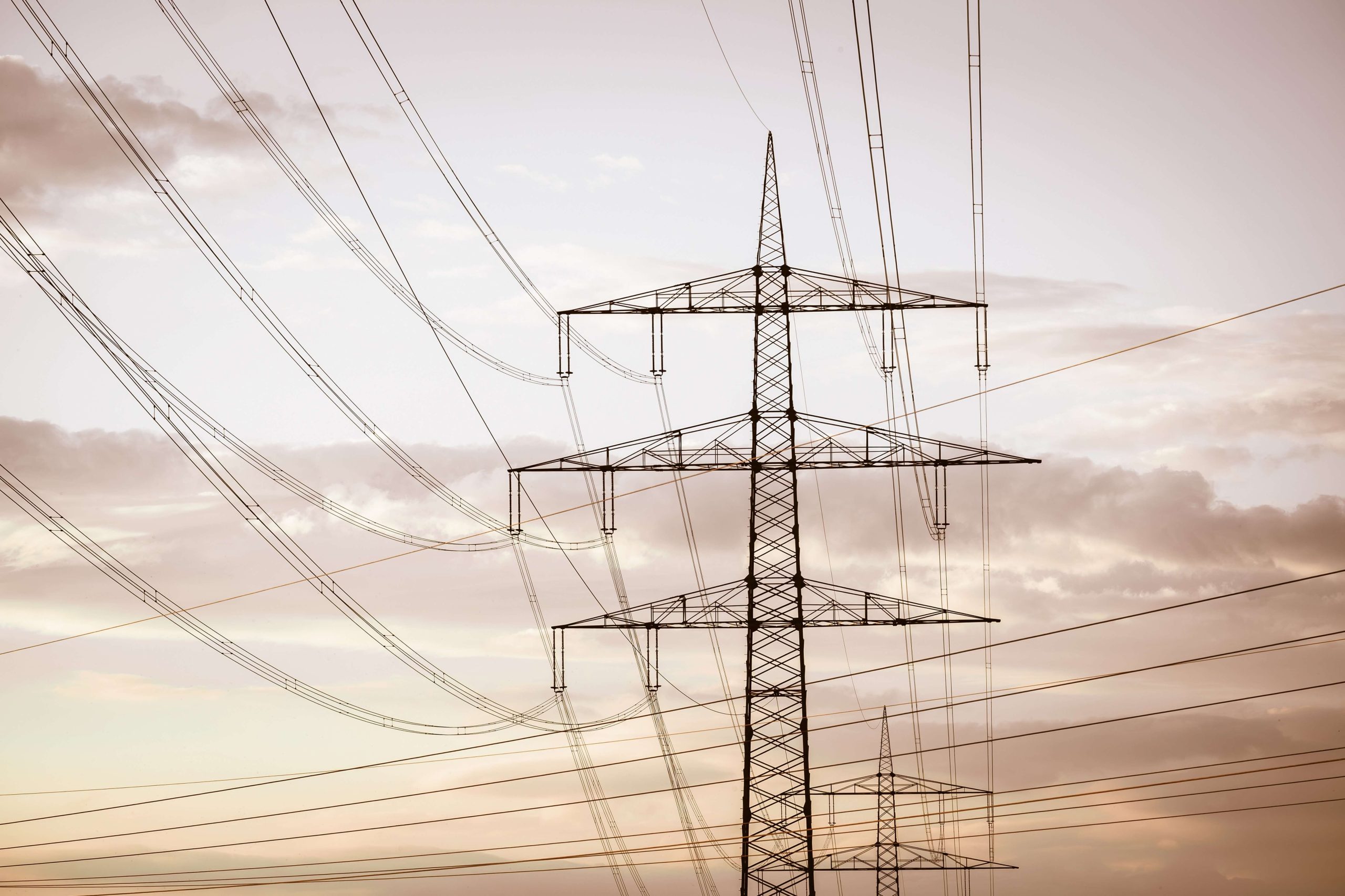
Traditionally, inspecting high-voltage powerlines required helicopters, climbers, or ground crews navigating rugged terrain—all costly, time-intensive, and sometimes dangerous methods. But in recent years, drone technology has dramatically transformed how utility providers and contractors conduct overhead line surveys. By improving accuracy, efficiency, and safety, drones are not just a tech upgrade—they’re a strategic advantage in modern grid maintenance and expansion.
Why Traditional Inspection Methods Fall Short
Climbing towers or flying helicopters remains effective in some scenarios, but these approaches are resource-heavy and limited by weather, geography, and access issues. Ground inspections, while safer, are often restricted to visible components and require extended line outages or clearances for crew safety.
As utilities expand grid capacity and modernize aging infrastructure, these limitations make it harder to meet both compliance standards and reliability expectations.
The Advantages of Drone-Based Surveys
Drone technology offers a range of operational and strategic benefits:
1. Enhanced Safety
Reducing the need for human crews to climb structures or fly low-altitude aircraft directly improves safety. Drones minimize the risk of falls, electrocution, and fatigue-related incidents. Crews can remain at a safe distance while drones gather high-resolution data from energized lines.
2. Cost and Time Efficiency
A single drone team can inspect multiple miles of line in a single day, far faster than traditional field crews. This speed reduces labor costs and downtime while increasing system availability. It also enables utilities to conduct more frequent inspections without inflating their O&M budgets.
3. High-Precision Data Capture
Today’s drones are equipped with sensors capable of capturing:
- 4K or higher-resolution imagery
- Infrared thermal scans for hot spots
- LiDAR for 3D modeling of structures and terrain
- Corona detection for identifying ionization effects on insulators
This level of detail supports predictive maintenance and digital twin modeling, allowing operators to spot early signs of wear or environmental interference long before they cause failure.
4. Access to Remote or Hazardous Terrain
From mountains to wetlands, drones can access line segments that would otherwise require complex logistics or hazardous travel. This is particularly valuable during storm recovery, wildfire aftermath, or in areas with erosion, snowpack, or high winds.
Integration into Powerline Construction Projects
Drone surveys are not only useful for maintenance—they also play a growing role in powerline construction projects, improving everything from route planning to as-built verification.
During the pre-construction phase, drones support:
- Route planning with aerial mapping and LiDAR
- Environmental assessments to minimize habitat impact
- Right-of-way documentation for permitting
Post-construction, they assist with:
- As-built verification
- Punch-list reviews
- Regulatory compliance records
Drones streamline field documentation and accelerate the turnover process, reducing manual entry and enhancing reporting accuracy.
Regulatory Considerations and FAA Compliance
To operate drones legally and safely, powerline contractors must follow FAA Part 107 guidelines, which require:
- Certified drone pilots
- Airspace authorization when near airports or controlled zones
- Adherence to altitude, visibility, and daylight operation rules
TW Powerline’s UAS operators are fully licensed and trained in utility-specific protocols, ensuring both safety and regulatory compliance.
Client Perspective: Why It Matters
For utility clients, the adoption of drones isn’t just a technology win; it’s a reliability and cost-efficiency win. Drone-assisted surveys help:
- Prevent unplanned outages through early fault detection
- Reduce maintenance costs via efficient targeting of work
- Improve transparency with image and data-rich inspection reports
- Satisfy regulatory agencies with comprehensive digital documentation
Utilities and developers seeking reliable overhead transmission solutions benefit from contractors who have already built drone workflows into their QA/QC and maintenance operations.
TW Powerline’s Drone Inspection Program
At TW Powerline, our drone program is more than a side offering; it’s fully integrated into our engineering, field, and compliance workflows. We use drone technology to deliver:
- High-quality line inspections without service disruption
- Data capture aligned with NESC and client standards
- Aerial views that enhance stakeholder reporting and decision-making
Whether it’s surveying new alignments, supporting construction crews, or inspecting energized lines, TW Powerline delivers smarter, safer field intelligence.
Careers in Drone Operations and Utility Innovation
As technology continues to reshape the powerline industry, TW Powerline actively invests in developing talent for the next generation of field innovation.
For those interested in drone operations, GIS mapping, or remote diagnostics, TW offers:
- In-house training for FAA Part 107 certification
- Exposure to real-world utility survey work
- Career growth into UAS program management, field QA, or inspection engineering
It’s a dynamic opportunity for professionals who enjoy both fieldwork and tech-enabled problem solving.
Final Thoughts
Drone technology is rapidly becoming an indispensable tool in modern transmission line inspection and construction. With the ability to deliver faster, safer, and more accurate results, drone surveys are changing the way utilities maintain grid resilience and contractors manage their projects.
TW Powerline is proud to lead this transformation.
Whether you’re planning a major expansion or need to strengthen your inspection workflows, contact us today to learn how our drone services can support your goals.
Interested in joining our innovation team? Explore our careers and help shape the future of field technology in powerline services.